Travel · NEWS EXPLAINER
South Texas faces an overnight flash-flood threat: what drivers should check before Friday
A slow-moving front and moisture left by Hurricane Polo could focus repeated downpours over parts of South Texas overnight, with the Brush Country in a Moderate Risk for flash flooding. Here is what the forecast does—and does not—say before Friday travel.
South Texas travelers heading out late Thursday or before daybreak Friday should treat the forecast as a route-planning problem, not as a promise that every community will flood. At 4:40 p.m. Central time Thursday, the National Weather Service office in Corpus Christi said abundant moisture from the remnants of Hurricane Polo would interact with a slow-moving cold front. That setup can support “training” showers and thunderstorms—successive cells moving over the same area—and efficient rainfall rates. The office placed the Brush Country in a Moderate Risk of flash flooding and said rain chances would remain high overnight. The local briefing said areas within the Flood Watch could receive 3 to 6 inches of rain, with isolated totals as high as 8 inches. Those numbers are conditional and geographically limited. They do not mean every location in South Texas will receive that much rain, and an isolated maximum is not the most likely total for the region. The more useful message is that repeated downpours could overwhelm poor drainage and turn familiar low spots into hazards quickly. The broader pattern extends beyond the Corpus Christi forecast area. The National Weather Service in Norman said a slow-moving front and tropical moisture would maintain a threat of locally considerable flash and urban flooding across much of Texas and Oklahoma through Friday. That office also expected scattered rain and storms to continue into the evening and night in parts of Oklahoma.
What “Moderate Risk” means here
On the Corpus Christi briefing page, Moderate Risk is described as at least a 40% chance of flash flooding within 25 miles of a point in the highlighted area. It is an outlook category, not a statement that 40% of homes or roads will flood. It also does not replace a county- or storm-specific warning. A Flood Watch means flooding is possible and that people should be ready to act. A Flash Flood Warning means dangerous flooding is occurring or imminent in the warned area and requires immediate attention. Watches, warnings and advisories can change through the night, so a screenshot or afternoon forecast should not be treated as a live alert. Before leaving, check the latest location-specific page from the National Weather Service and any local emergency-management notices. Keep Wireless Emergency Alerts enabled, and use more than one way to receive warnings in case a phone loses power or service.
Why the overnight window matters
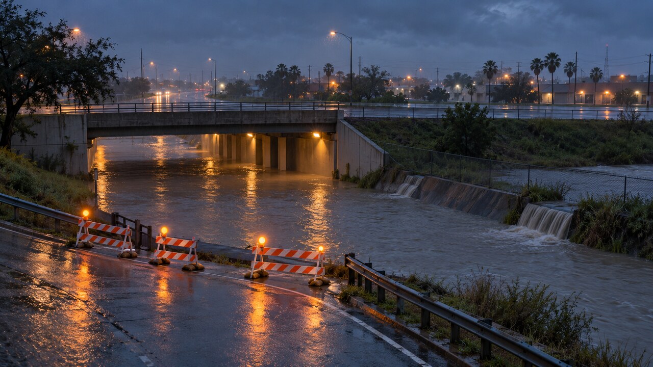
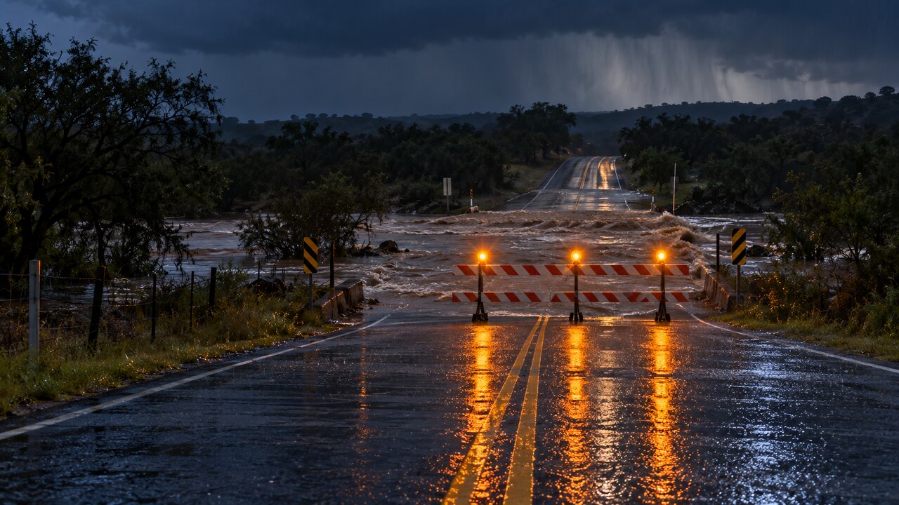
Darkness makes standing water harder to see and removes visual clues about depth, current and road damage. Heavy rain can also fall upstream or outside a driver’s immediate view, sending water into creeks, drainage channels and low-water crossings later. The risk is not limited to dramatic river flooding. Urban flash flooding can start where storm drains cannot keep up, while rural roads can be cut by fast water at dips and crossings. A route that was open on the trip out may not be safe on the return. Drivers should avoid treating a familiar road, a large vehicle or another car’s successful crossing as proof that the water is safe. Water can hide a washed-out shoulder or missing pavement, and conditions can change between vehicles.
An overnight road-safety checklist
First, look at the latest radar and official alerts immediately before departure—not only an hourly forecast saved earlier in the day. Check the route as well as the destination, because the most intense rain may sit between them. Second, identify an alternate route that avoids low-water crossings, underpasses and roads known to collect water. If the trip can wait until daylight and rain eases, delaying may provide more information and visibility. Third, do not drive around a barricade or enter a flooded road. The National Weather Service says 6 inches of fast-moving water can knock over an adult, 12 inches can carry away most cars, and roughly 18 to 24 inches can carry away larger vehicles. A driver cannot reliably measure depth or inspect the pavement from the windshield. Fourth, if a Flash Flood Warning is issued for the area, act on the warning rather than waiting to see flooding. Move away from low-lying ground and follow instructions from local officials. If water is rising around a vehicle, call 911 when possible and follow emergency guidance; do not remain in a place that is becoming more dangerous simply to protect the car. Fifth, charge phones and portable batteries, and make sure alerts are audible overnight. People responsible for children, older adults or anyone with mobility needs should decide in advance who will help and where higher ground is located.
What residents should not assume
The mention of Hurricane Polo does not mean South Texas is facing Polo’s hurricane-force winds. In this forecast, the relevant ingredient is moisture from the former tropical system interacting with the front. The immediate hazard described by the weather offices is heavy rainfall and flooding, with isolated severe wind gusts possible in parts of the broader Southern Plains. Likewise, a Flood Watch is not evidence that a particular school, road or airport has closed. Closures and delays should be confirmed with the responsible school district, road agency, transit operator or airline. This article does not substitute for a live warning and should not be used to decide whether a specific crossing is open.
What could change by Friday
Where the heaviest rain bands set up will determine which communities see the most serious impacts. A shift in the front, faster or slower storm movement, or repeated cells over one drainage basin can raise or lower local totals substantially. The Corpus Christi office said the Flood Watch could be expanded, which is another reason to refresh the official forecast rather than rely on the Thursday-afternoon boundary. If the storms become more scattered or move faster, some places may receive much less rain than the upper-end totals. If bands repeatedly cross the same corridor, localized flooding could worsen even where regional averages appear lower.
The bottom line
The forecast supports preparation, not panic. Parts of South Texas—especially the Brush Country and locations inside the Flood Watch—face a meaningful overnight flash-flood risk as tropical moisture meets a slow front. The safest decision is also the simplest: check live alerts before traveling, choose a route around known low spots, and turn around whenever water covers the road.