Public Service · NEWS EXPLAINER
NY–NJ Nor’easter: September 26–27 Coastal Flood Warnings
The September 26 evening NWS forecast cited here listed a New York City coastal flood warning through 6 p.m. EDT September 27. This is a dated account of that warning, not a current alert for every NY–NJ shoreline.
Weather snapshot through September 26, 2026, 10:51 p.m. EDT (September 27, 02:51 UTC). The Sunday warning times below belong to that update. They do not establish today’s alert level or when a particular road reopened. Open the linked NWS location forecast and check your exact destination and current alert before travel.
A slow-moving nor’easter is keeping coastal flooding, wind and heavy-rain hazards in place across the New York–New Jersey region. For the New York City forecast point, the National Weather Service listed a Coastal Flood Warning through 6 p.m. EDT Sunday and a Wind Advisory through noon Sunday in its late-Saturday update.
Those times do not apply identically to every town. Warnings vary by shoreline and forecast zone, so the useful action is to check the current NWS alert for an exact location before traveling. Roads that look shallow may hide moving water, damaged pavement or debris; turn around rather than driving through a flooded section.
What the warning means—and what it does not
A coastal flood warning signals that flooding is occurring or expected in vulnerable shoreline areas. It is not a claim that every street in New York City or New Jersey will flood. The NWS warning page and News 12 forecast both emphasize that impact depends on coastline, tide cycle, wind direction and local elevation.
The New York City page showed the warning lasting through Sunday evening, while nearby zones may have different products or expiration times. Before a trip, use the address or town on the NWS forecast page rather than assuming the citywide time covers a destination elsewhere in the region.
Saturday reports show why low roads remain the priority
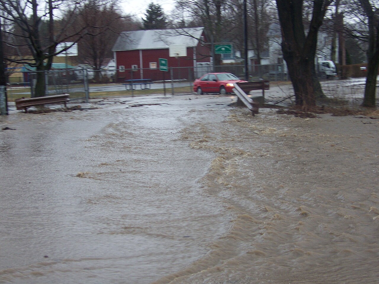
Preliminary NWS local storm reports included tidal water across roads in Harrison, Rutherford and Kearny, New Jersey, and flooding at multiple locations around Long Island, Westchester and New York City. The reports are location-specific observations, not a complete damage tally, but they confirm that the threat was already producing real road impacts.
CBS New York’s live update said the storm was turning toward the Jersey Shore late Saturday, with rain and wind expected to increase and coastal flooding to return. That continuing onshore push is why a road that drained after one tide can become hazardous again during the next high-water cycle.
A practical plan for Sunday travel
Check the current NWS warning, local emergency notices and transit or ferry status immediately before leaving. Avoid shoreline roads during the local high-tide window, keep away from surf and jetties, and never move a barrier or enter standing water to test its depth.
News 12’s regional forecast keeps rain and showers in the picture into Monday before conditions improve. That means Sunday evening is an alert expiration for the referenced New York City coastal-flood product—not a guarantee that every road, beach or service will be back to normal at that moment.