World · NEWS EXPLAINER
Hurricane Trudy skirts Mexico’s Pacific coast: what the latest forecast means
The Category 2 storm stayed offshore with winds near 105 mph, but forecasts still warned of heavy rain, dangerous waves, flooding and mudslides before rapid weakening.
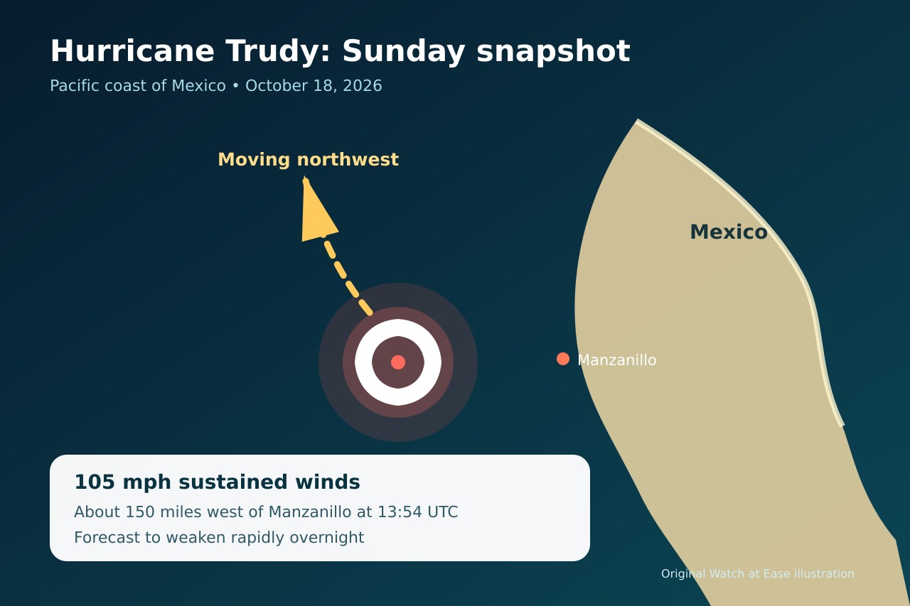
Hurricane Trudy tracked parallel to Mexico’s Pacific coast on October 18, bringing heavy rain and strong winds while remaining offshore. Reuters reported 105 mph sustained winds at 13:54 UTC; forecasters expected rapid weakening overnight, but flood, mudslide and coastal hazards remained.
The storm remained offshore but close to the coast
Reuters reported that Trudy was about 150 miles west of Manzanillo and moving northwest at roughly 10 mph. It was expected to remain near the coast through Sunday evening, then move south of Baja California Sur on Monday and Tuesday.
AP later described 100 mph winds and a slower six-mile-per-hour motion. Those differences reflect separate advisory snapshots, not a contradiction about the broader track.
Rapid weakening did not erase the rain threat
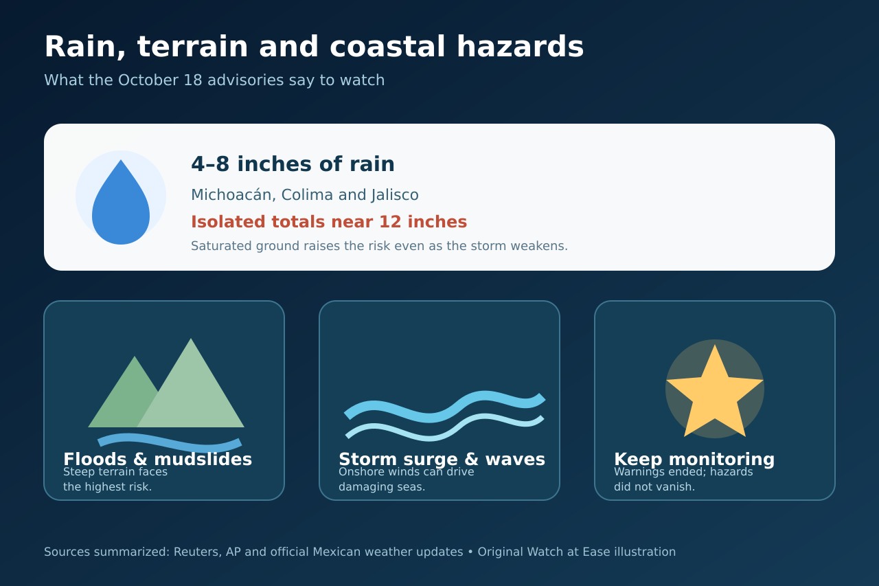
Forecasts called for 4–8 inches of rain in parts of Michoacán, Colima and Jalisco, with isolated totals near 12 inches. Saturated ground can increase runoff and slope failure even as wind weakens.
Reuters and AP highlighted potentially life-threatening flooding and mudslides, especially in steep terrain. Mexico’s official weather page also carried October 18 rain notices for western coastal states.
Coastal warnings ended, but marine hazards remained
AP reported that authorities had discontinued further coastal warnings, while southwestern and west-central Mexico and Baja California Sur were still told to monitor Trudy.
Reuters said dangerous storm surge and damaging waves remained possible where onshore winds reached the coast. Ending a warning did not mean surf, wave or localized flood risks had disappeared.
What residents and travelers should read carefully
The practical information was the latest local alert, not the storm label alone. People near steep slopes, flood-prone roads or exposed shorelines faced different risks under the same regional forecast.
This report summarizes the October 18 advisory picture and does not replace instructions from local civil-protection agencies. Conditions and official warnings can change after publication.
What is confirmed, and what can still change
Confirmed on October 18: Trudy was a Category 2 hurricane tracking northwest near Mexico’s Pacific coast, with heavy rain and coastal hazards forecast before rapid weakening.
The exact wind speed, position and alert status can change with each advisory. A weaker cyclone can still produce dangerous rain and waves, so a downgrade is not an all-clear.