Weather · NEWS EXPLAINER
Hurricane Simon stays at 155 mph near Mexico: what the 09:00 UTC bulletin confirms
NHC Advisory 16 placed the Category 4 storm 60 miles west-southwest of Manzanillo. The forecast warns of flooding and coastal surge; it does not confirm landfall.
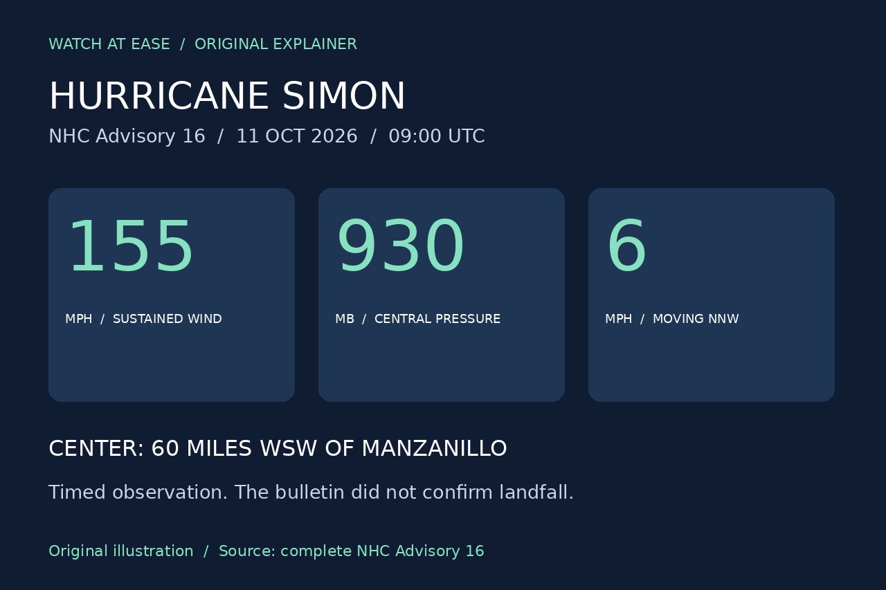
Hurricane Simon remained a Category 4 storm with sustained winds of 155 mph (250 km/h) at 09:00 UTC on October 11, according to the National Hurricane Center’s complete Advisory 16. Its center was about 60 miles west-southwest of Manzanillo, Mexico, moving north-northwest at 6 mph. The bulletin forecast a close coastal approach later Sunday rather than reporting an already completed landfall.
A timed observation, not a landfall report
The advisory located the eye at 18.7° north, 105.2° west and recorded a central pressure of 930 millibars. Its forecast brought the center near or just inland over west-central Mexico later Sunday, with a track very close to the coast on Monday.
The measurements describe conditions at 09:00 UTC and should not be mixed with the 06:00 UTC intermediate advisory. Later official updates are needed to establish whether, when and where the center crosses the coast.
Forecast rain and surge extend the concern beyond wind
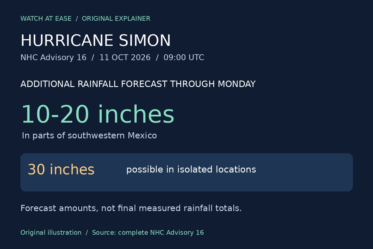
The NHC forecast an additional 10 to 20 inches of rain in parts of southwestern Mexico through Monday, with isolated totals of 30 inches possible in Michoacán, Colima and Jalisco. These are projected additional amounts, not final measured totals. The agency warned of dangerous flooding and mudslides, particularly on steep terrain.
A coastal surge was expected near and east of the eventual landfall location, accompanied by destructive waves. Swells could also create hazardous surf and rip currents. A wind category alone therefore does not describe the full range of hazards.
Warnings and preparations were already in place
The bulletin listed hurricane warnings from Punta San Telmo to El Roblito and for Las Islas Marías. A tropical-storm watch covered the coast east of Punta San Telmo to Lázaro Cárdenas. These areas were under warnings or watches even though the center had not been confirmed inland.
AP reported that Jalisco suspended classes in 22 coastal municipalities and began evacuations in vulnerable areas. Businesses in Puerto Vallarta were boarding up on Saturday. These are reported preparations rather than proof of landfall or final damage; residents and visitors should follow current local civil-protection instructions.