Science/Climate · NEWS EXPLAINER
2026 U.S. Fall Weather Outlook: El Niño, Warmth and Early Snow
New outlooks lean warmer across the northern U.S., wetter across much of the South and drier in the Pacific Northwest—patterns that could delay some early snow and raise snow levels in the Cascades.
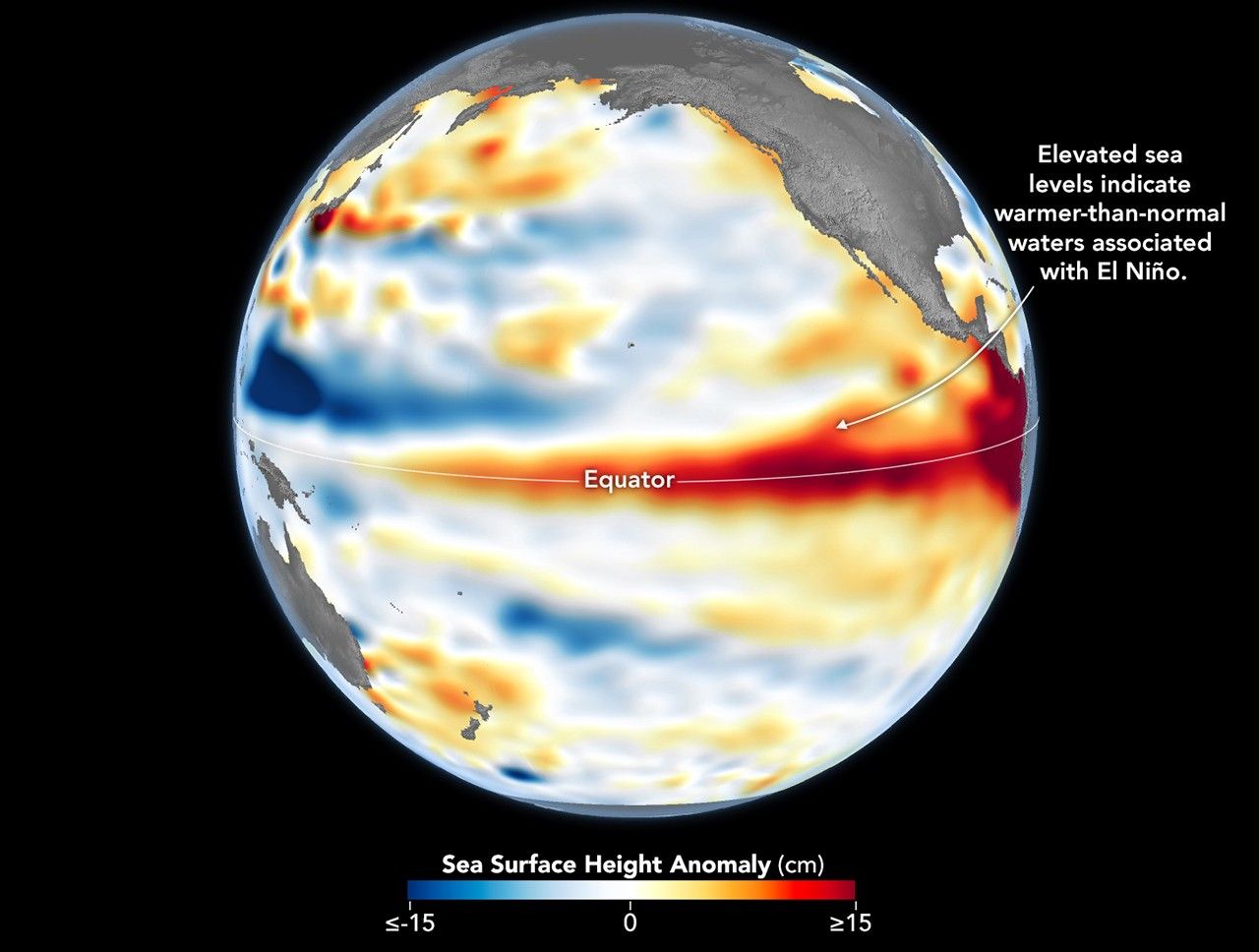
A strengthening El Niño is tilting the latest fall outlook toward a warmer northern United States, a wetter South and a drier Pacific Northwest. Two forecasts published September 26 connect that broad pattern to practical questions: whether some Midwest first snow could be delayed and whether warmer storms could lift snow levels around Mount Hood and the Cascades.
These are seasonal odds, not a day-by-day promise. NOAA says a very strong El Niño is likely, but even a powerful ocean signal does not determine every storm. A warm month can still contain a cold snap, and an overall drier season can still deliver a major snowstorm.
What changed in the latest outlooks
Weather.com’s September 26 report says The Weather Company’s September 21 outlook favors warmer-than-average October conditions from the northern Rockies through the northern Plains and upper Midwest. It also expects a wetter-than-average October in much of the South, especially along the Gulf Coast.
For November, the same outlook leans warmer across much of the eastern two-thirds of the country and wetter from California toward the Northeast. The report says that warmth could push the typical first snow later in parts of the Midwest. That is a forecast tendency, not a date for any city.
Why Mount Hood and the Cascades are a different question
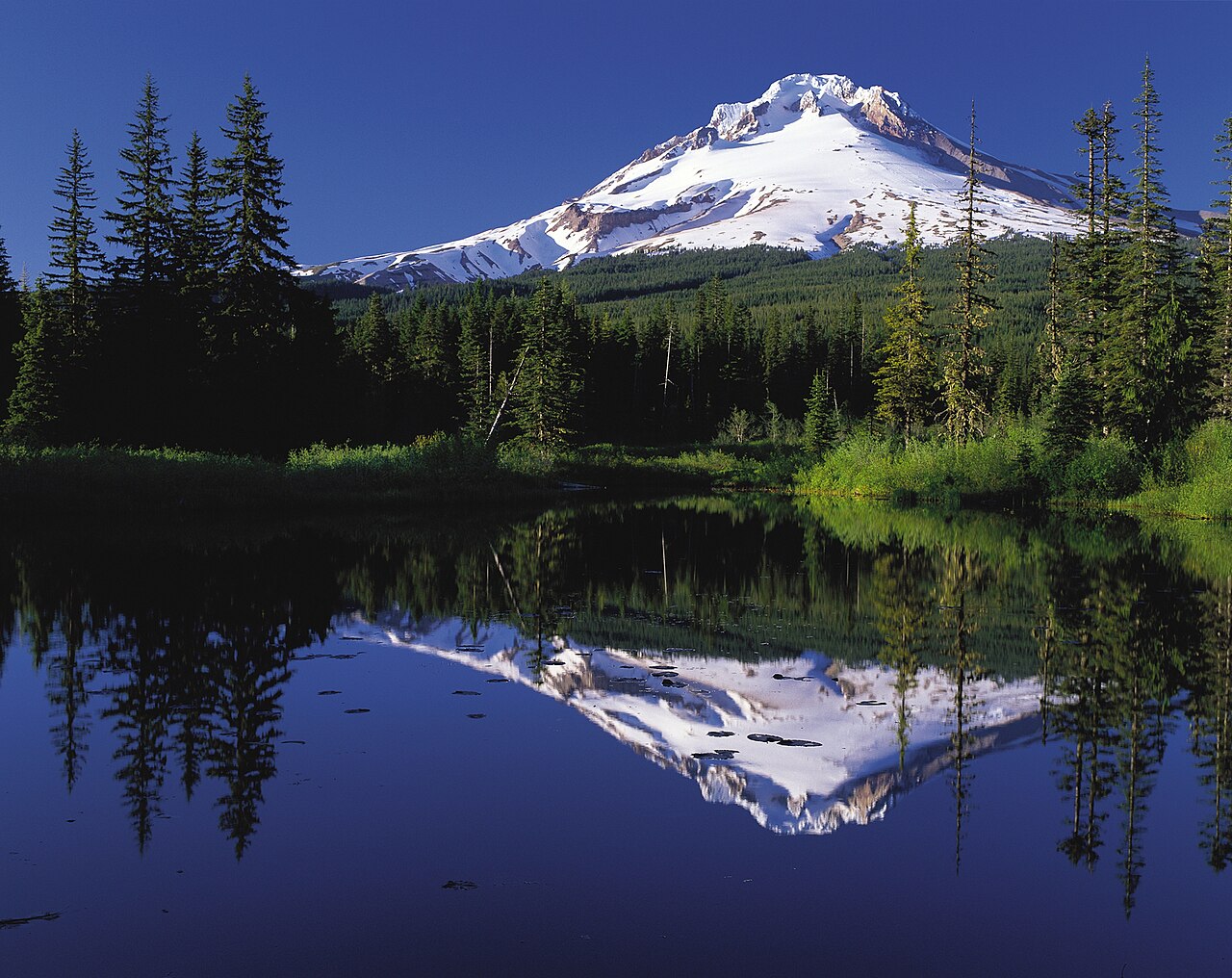
KATU’s Oregon outlook focuses on temperature and snow level rather than simply counting storms. It says the current October–December outlook favors below-average precipitation in parts of the Pacific Northwest and above-average temperatures.
If that warmer tendency carries into winter, some storms could fall as rain at lower and middle elevations, leaving seasonal snowpack below normal. But the same report stresses that El Niño does not rule out cold snaps, atmospheric rivers or significant mountain snow in individual events.
How to read a “very strong” El Niño forecast
NOAA’s September ENSO discussion gives a greater than 90% chance that the event will be very strong during fall and winter, and a 75% chance that the October–December relative Oceanic Niño Index will exceed previous events in the record since 1950. That increases the odds of familiar El Niño impacts; it does not guarantee them in every region.
The useful next updates are NOAA’s monthly seasonal outlooks and shorter-range local forecasts. Those products can show whether broad climate odds are turning into a specific rain, freeze or snow event. Until then, this outlook is a planning signal—not a substitute for a local forecast.